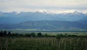
About Sights – The Egrisi Mountain Range
The Egrisi mountain range is a watershed ridge of the Inguri (Georgian: ენგური) and Tskhenistkali rivers situated in the Greater Caucasus Mountains in Georgia’s Samegrelo-Zemo Svaneti region (Georgian: სამეგრელო-ზემო სვანეთი). It reaches a maximum elevation of 3,173 meters at Mount Tsekuri.
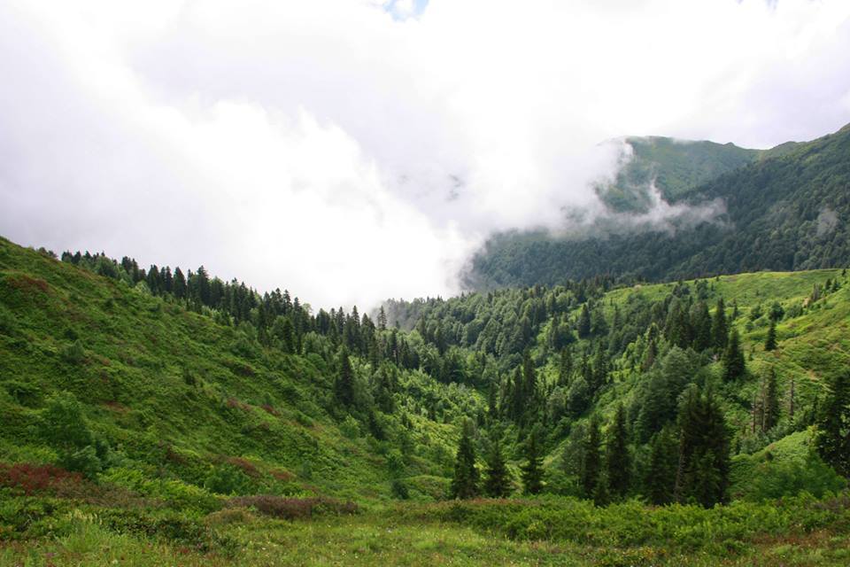
The Egrisi mountain range
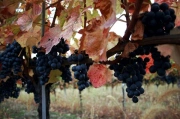
Forests of broad-leaved trees, such as oak and beech, grow on the slopes of the range. Sub-alpine and alpine meadows are found above 2,000 m.

The Egrisi mountain range
The higher elevations are quite remote and visitors need to be physically fit and equipped with appropriate clothing and boots. The best time to visit is from the end of June until early September. At other times of the year the mountains are often shrouded in cloud and fog.
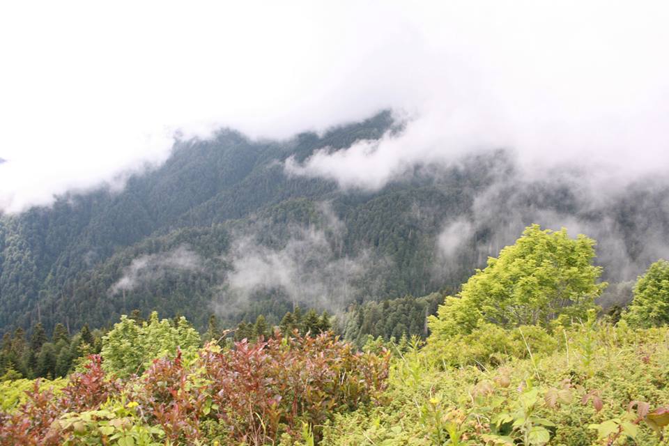
The Egrisi mountain range is often shrouded in cloud and mist
The range contains several glacial lakes, including Lake Tobavarchkhili (Georgian: ტობავარჩხილის ტბა) known as “Crystal Lake” because of its clear, transparent water.
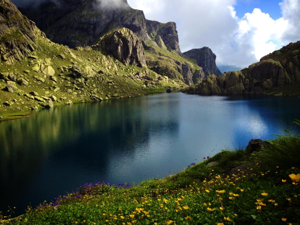
Lake Tobavarchkhili. Photo by Goga Khachidze.
There are also caves and waterfalls.
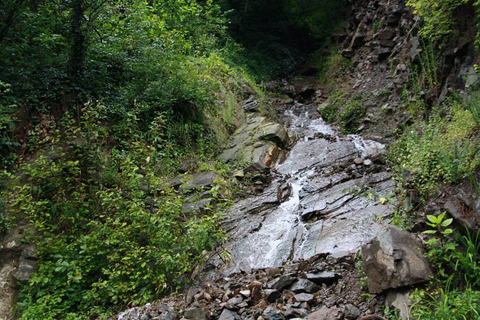
Waterfall in the Egrisi mountain range
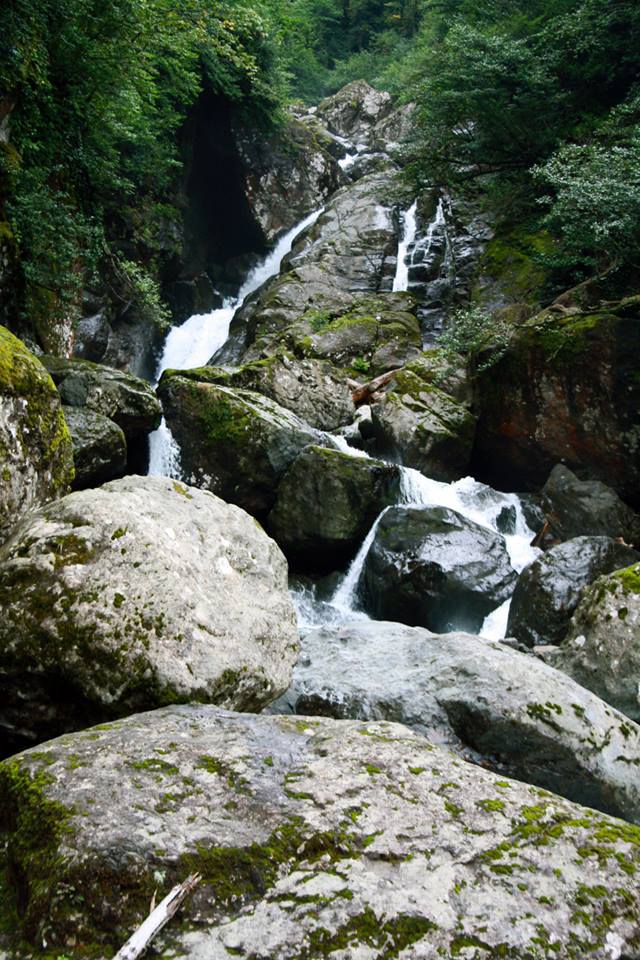
Waterfall in the Egrisi mountain range
Explore the Egrisi mountain range!
![]() CLICK on the logo to visit GEORGIA ABOUT on Facebook and see photos and news about Georgia. Click LIKE on the page and become a friend of GEORGIA ABOUT.
CLICK on the logo to visit GEORGIA ABOUT on Facebook and see photos and news about Georgia. Click LIKE on the page and become a friend of GEORGIA ABOUT.